Former trackway, Aughertree Fell
Introduction
The photograph on this page of Former trackway, Aughertree Fell by Andrew Curtis as part of the Geograph project.
The Geograph project started in 2005 with the aim of publishing, organising and preserving representative images for every square kilometre of Great Britain, Ireland and the Isle of Man.

There are currently over 7.5m images from over 14,400 individuals and you can help contribute to the project by visiting https://www.geograph.org.uk
Former trackway, Aughertree Fell
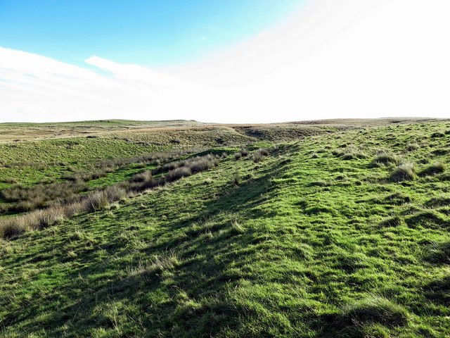
Image: © Andrew Curtis Taken: 29 Oct 2017
Probably associated with a disused, post-medieval limestone quarry and old lime-kiln where this embankment appears to lead.
Images are licensed for reuse under creativecommons.org/licenses/by-sa/2.0
Image Location
Latitude
54.732323
Longitude
-3.150383