Rampisham Down
Introduction
The photograph on this page of Rampisham Down by Andrew Smith as part of the Geograph project.
The Geograph project started in 2005 with the aim of publishing, organising and preserving representative images for every square kilometre of Great Britain, Ireland and the Isle of Man.

There are currently over 7.5m images from over 14,400 individuals and you can help contribute to the project by visiting https://www.geograph.org.uk
Rampisham Down
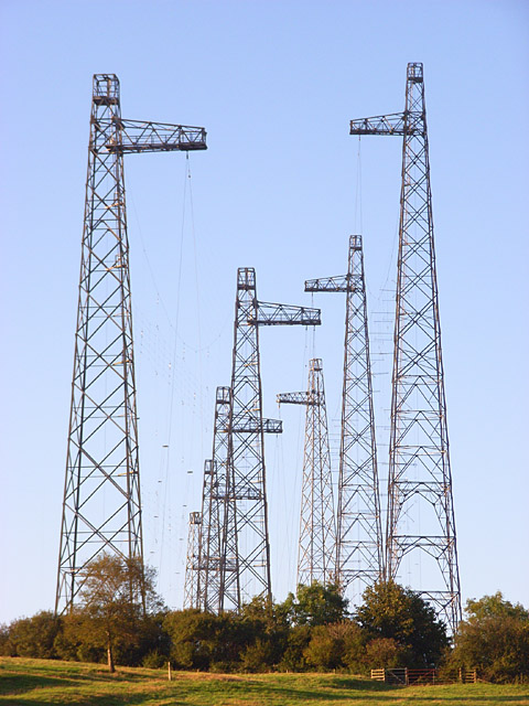
Image: © Andrew Smith Taken: 15 Sep 2007
These masts are at the western end of the transmitting station. They are viewed from beside Jolly Sailor Copse to the north of the A356. The transmitting station has similar masts spread across three grid-squares.
Images are licensed for reuse under creativecommons.org/licenses/by-sa/2.0
Image Location


Leaflet Map data © OpenStreetMap
Latitude
50.812121
Longitude
-2.652853