Kelly's Bar
Introduction
The photograph on this page of Kelly's Bar by Thomas Nugent as part of the Geograph project.
The Geograph project started in 2005 with the aim of publishing, organising and preserving representative images for every square kilometre of Great Britain, Ireland and the Isle of Man.

There are currently over 7.5m images from over 14,400 individuals and you can help contribute to the project by visiting https://www.geograph.org.uk
Kelly's Bar
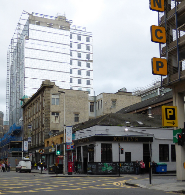
Image: © Thomas Nugent Taken: 23 Sep 2017
At the corner of Midland Street and Oswald Street. The highrise building under construction is at the corner of Argyle Street and Oswald Street.
Images are licensed for reuse under creativecommons.org/licenses/by-sa/2.0
Image Location
Latitude
55.857587
Longitude
-4.259659