Equestrian crossing
Introduction
The photograph on this page of Equestrian crossing by Ian Capper as part of the Geograph project.
The Geograph project started in 2005 with the aim of publishing, organising and preserving representative images for every square kilometre of Great Britain, Ireland and the Isle of Man.

There are currently over 7.5m images from over 14,400 individuals and you can help contribute to the project by visiting https://www.geograph.org.uk
Equestrian crossing
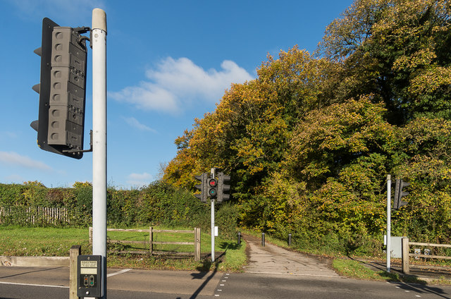
Image: © Ian Capper Taken: 27 Oct 2017
Light controlled crossing for horses on Langley Vale Road enabling riders from stables in Headley Road and Chalk Pit Lane (the track in the background) to access Epsom and Walton Downs (although pedestrians can use it too).
Images are licensed for reuse under creativecommons.org/licenses/by-sa/2.0
Image Location
Latitude
51.304529
Longitude
-0.274449