Double yellow lines on approach to former R.A.F. Digby
Introduction
The photograph on this page of Double yellow lines on approach to former R.A.F. Digby by Chris as part of the Geograph project.
The Geograph project started in 2005 with the aim of publishing, organising and preserving representative images for every square kilometre of Great Britain, Ireland and the Isle of Man.

There are currently over 7.5m images from over 14,400 individuals and you can help contribute to the project by visiting https://www.geograph.org.uk
Double yellow lines on approach to former R.A.F. Digby
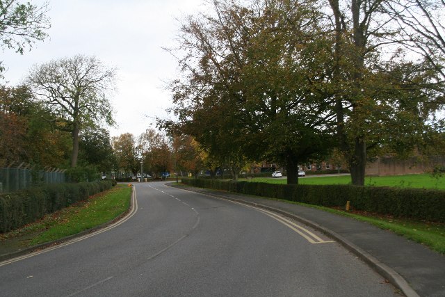
Image: © Chris Taken: 29 Oct 2017
Now the Joint Service Signal Unit (D) - the RAF ensign was lowered for the last time on 1st June 2011. See https://www.raf.mod.uk/rafdigby/aboutus/history.cfm
Images are licensed for reuse under creativecommons.org/licenses/by-sa/2.0
Image Location
Latitude
53.096018
Longitude
-0.433526