Bonnington Mains Farm
Introduction
The photograph on this page of Bonnington Mains Farm by Alan O'Dowd as part of the Geograph project.
The Geograph project started in 2005 with the aim of publishing, organising and preserving representative images for every square kilometre of Great Britain, Ireland and the Isle of Man.

There are currently over 7.5m images from over 14,400 individuals and you can help contribute to the project by visiting https://www.geograph.org.uk
Bonnington Mains Farm
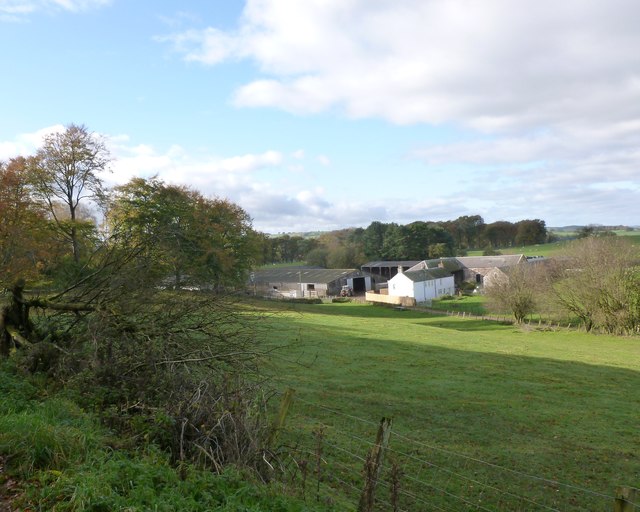
Image: © Alan O'Dowd Taken: 27 Oct 2017
The term 'Mains' denotes the home farm of an estate, so presumably this farm was once associated with the Bonnington Estate, whose mansion house was destroyed by fire around a century ago.
Images are licensed for reuse under creativecommons.org/licenses/by-sa/2.0
Image Location
Latitude
55.658385
Longitude
-3.763143