Houses in Stockingford
Introduction
The photograph on this page of Houses in Stockingford by Peter Mackenzie as part of the Geograph project.
The Geograph project started in 2005 with the aim of publishing, organising and preserving representative images for every square kilometre of Great Britain, Ireland and the Isle of Man.

There are currently over 7.5m images from over 14,400 individuals and you can help contribute to the project by visiting https://www.geograph.org.uk
Houses in Stockingford
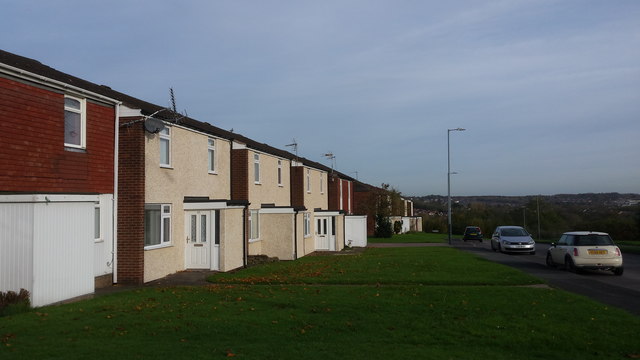
Image: © Peter Mackenzie Taken: 30 Oct 2017
An example of the pre-fabricated local authority housing on Thorntons Way, Stockingford.
Images are licensed for reuse under creativecommons.org/licenses/by-sa/2.0
Image Location
Latitude
52.517732
Longitude
-1.52558