Nos 16-20 Howard Street South, Belfast (October 2017)
Introduction
The photograph on this page of Nos 16-20 Howard Street South, Belfast (October 2017) by Albert Bridge as part of the Geograph project.
The Geograph project started in 2005 with the aim of publishing, organising and preserving representative images for every square kilometre of Great Britain, Ireland and the Isle of Man.

There are currently over 7.5m images from over 14,400 individuals and you can help contribute to the project by visiting https://www.geograph.org.uk
Nos 16-20 Howard Street South, Belfast (October 2017)
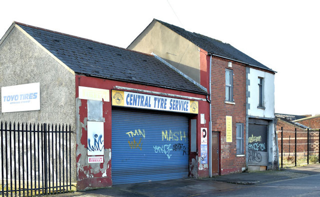
Image: © Albert Bridge Taken: 29 Oct 2017
This is all that remains of Howard Street South following the demolition of the Old Potato Station Image back in December 2009.
Images are licensed for reuse under creativecommons.org/licenses/by-sa/2.0
Image Location
Latitude
54.590887
Longitude
-5.926841