Parliament Street, Newark on Trent, Notts.
Introduction
The photograph on this page of Parliament Street, Newark on Trent, Notts. by David Hallam-Jones as part of the Geograph project.
The Geograph project started in 2005 with the aim of publishing, organising and preserving representative images for every square kilometre of Great Britain, Ireland and the Isle of Man.

There are currently over 7.5m images from over 14,400 individuals and you can help contribute to the project by visiting https://www.geograph.org.uk
Parliament Street, Newark on Trent, Notts.
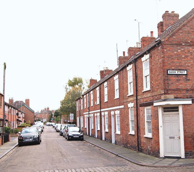
Image: © David Hallam-Jones Taken: 29 Oct 2017
This street links Millgate - behind the photographer - and the B6166 (a.k.a. Victoria Street) 200 metres ahead. The town centre can be reached by taking a right turn on the B6166, whereas a left turn leads westwards towards Farndon and ultimately to Nottingham.
Images are licensed for reuse under creativecommons.org/licenses/by-sa/2.0
Image Location
Latitude
53.07276
Longitude
-0.817091