Rolleston Church
Introduction
The photograph on this page of Rolleston Church by Stephen McKay as part of the Geograph project.
The Geograph project started in 2005 with the aim of publishing, organising and preserving representative images for every square kilometre of Great Britain, Ireland and the Isle of Man.

There are currently over 7.5m images from over 14,400 individuals and you can help contribute to the project by visiting https://www.geograph.org.uk
Rolleston Church
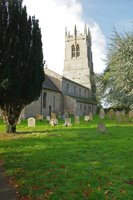
Image: © Stephen McKay Taken: 25 Oct 2017
Holy Trinity Church dates from the 12th century although there is evidence of an earlier pre-conquest building. The church is grade I listed. Detailed information about the architecture is available here: http://www.rollestonchurch.org.uk/architectural%20notes.html
Images are licensed for reuse under creativecommons.org/licenses/by-sa/2.0
Image Location
Latitude
53.064694
Longitude
-0.894467