Track to Penrhiw Farm
Introduction
The photograph on this page of Track to Penrhiw Farm by John Lord as part of the Geograph project.
The Geograph project started in 2005 with the aim of publishing, organising and preserving representative images for every square kilometre of Great Britain, Ireland and the Isle of Man.

There are currently over 7.5m images from over 14,400 individuals and you can help contribute to the project by visiting https://www.geograph.org.uk
Track to Penrhiw Farm
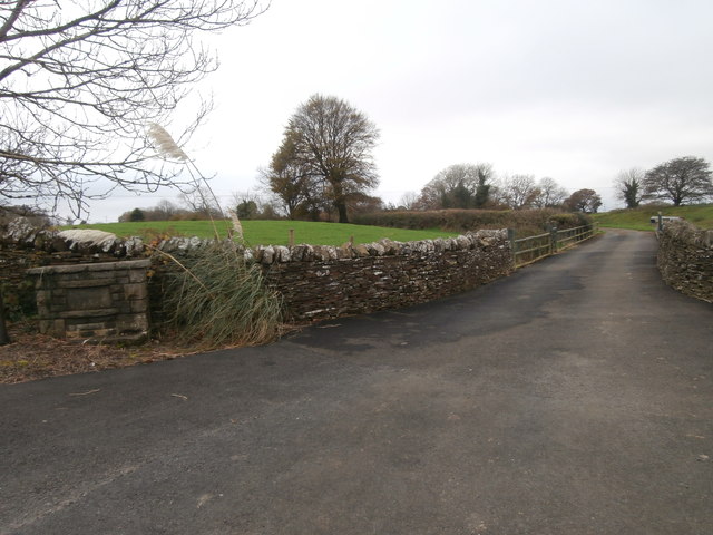
Image: © John Lord Taken: 28 Oct 2017
The OS map labels it Pen-y-rhiw, but the sign at the left of the picture says Penrhiw Farm, and the road from Graig towards the farm is called Penrhiw Rd.
Images are licensed for reuse under creativecommons.org/licenses/by-sa/2.0
Image Location
Latitude
51.586853
Longitude
-3.350677