High Street, Dalbeattie
Introduction
The photograph on this page of High Street, Dalbeattie by Richard Sutcliffe as part of the Geograph project.
The Geograph project started in 2005 with the aim of publishing, organising and preserving representative images for every square kilometre of Great Britain, Ireland and the Isle of Man.

There are currently over 7.5m images from over 14,400 individuals and you can help contribute to the project by visiting https://www.geograph.org.uk
High Street, Dalbeattie
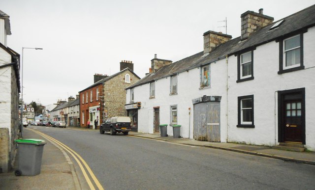
Image: © Richard Sutcliffe Taken: 26 Oct 2017
81-85 High Street (on the right) are mid-19th century Category B listed buildings. No 81 is the Dalbeattie Museum. Note the depressed-arch cart entrance at No 83.
Images are licensed for reuse under creativecommons.org/licenses/by-sa/2.0
Image Location
Latitude
54.931193
Longitude
-3.820458