Foveran Burn
Introduction
The photograph on this page of Foveran Burn by Bill Harrison as part of the Geograph project.
The Geograph project started in 2005 with the aim of publishing, organising and preserving representative images for every square kilometre of Great Britain, Ireland and the Isle of Man.

There are currently over 7.5m images from over 14,400 individuals and you can help contribute to the project by visiting https://www.geograph.org.uk
Foveran Burn
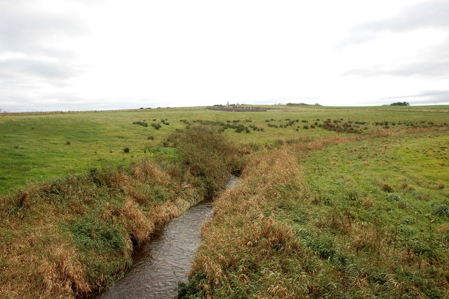
Image: © Bill Harrison Taken: 28 Oct 2017
There is farming country all about, but this little section of countryside looks pretty bleak. Foveran cemetery can just been seen in the distance.
Images are licensed for reuse under creativecommons.org/licenses/by-sa/2.0
Image Location
Latitude
57.30694
Longitude
-2.027868