Williamstown boundary sign
Introduction
The photograph on this page of Williamstown boundary sign by Jaggery as part of the Geograph project.
The Geograph project started in 2005 with the aim of publishing, organising and preserving representative images for every square kilometre of Great Britain, Ireland and the Isle of Man.

There are currently over 7.5m images from over 14,400 individuals and you can help contribute to the project by visiting https://www.geograph.org.uk
Williamstown boundary sign
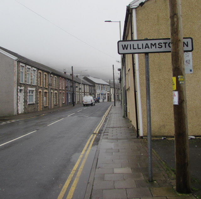
Image: © Jaggery Taken: 26 Oct 2017
Alongside the B4278 Penygraig Road, viewed from Penygraig. The Penygraig boundary sign http://www.geograph.org.uk/photo/5581835 is on the back of this one.
Images are licensed for reuse under creativecommons.org/licenses/by-sa/2.0
Image Location
Latitude
51.60999
Longitude
-3.446392