Former "Wheatsheaf Inn", Flimby - October 2017
Introduction
The photograph on this page of Former "Wheatsheaf Inn", Flimby - October 2017 by The Carlisle Kid as part of the Geograph project.
The Geograph project started in 2005 with the aim of publishing, organising and preserving representative images for every square kilometre of Great Britain, Ireland and the Isle of Man.

There are currently over 7.5m images from over 14,400 individuals and you can help contribute to the project by visiting https://www.geograph.org.uk
Former "Wheatsheaf Inn", Flimby - October 2017
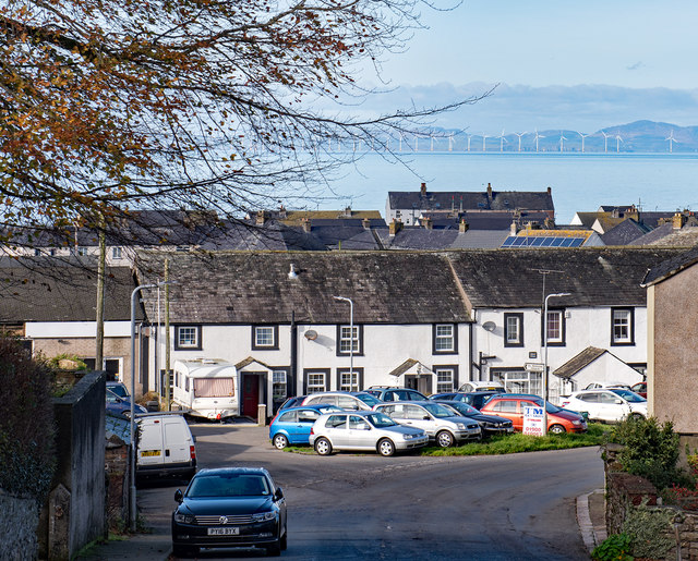
Image: © The Carlisle Kid Taken: 27 Oct 2017
Thought to be the white rendered building on the right in this view, the "Wheatsheaf Inn" first appears in Slater's Directory of 1848, but is probably much older. No record of closure has been found, but the Inn is marked on the 1960 OS Map. Now a private dwelling with no public access.
Images are licensed for reuse under creativecommons.org/licenses/by-sa/2.0
Image Location
Latitude
54.686334
Longitude
-3.51565