Victoria Place, Brighton
Introduction
The photograph on this page of Victoria Place, Brighton by Simon Carey as part of the Geograph project.
The Geograph project started in 2005 with the aim of publishing, organising and preserving representative images for every square kilometre of Great Britain, Ireland and the Isle of Man.

There are currently over 7.5m images from over 14,400 individuals and you can help contribute to the project by visiting https://www.geograph.org.uk
Victoria Place, Brighton
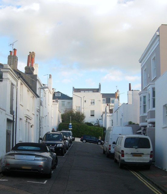
Image: © Simon Carey Taken: 27 Oct 2017
Small residential street that links Montpelier Street to Victoria Street built in the early 1840s. Victoria House on the right obscured by the white vans was built slightly later in the mid 1840s and for some time served as the vicarage to nearby St Michaels and All Angels church.
Images are licensed for reuse under creativecommons.org/licenses/by-sa/2.0
Image Location
Latitude
50.826435
Longitude
-0.149476