East side of The Glamorgan, Brook Street, Williamstown
Introduction
The photograph on this page of East side of The Glamorgan, Brook Street, Williamstown by Jaggery as part of the Geograph project.
The Geograph project started in 2005 with the aim of publishing, organising and preserving representative images for every square kilometre of Great Britain, Ireland and the Isle of Man.

There are currently over 7.5m images from over 14,400 individuals and you can help contribute to the project by visiting https://www.geograph.org.uk
East side of The Glamorgan, Brook Street, Williamstown
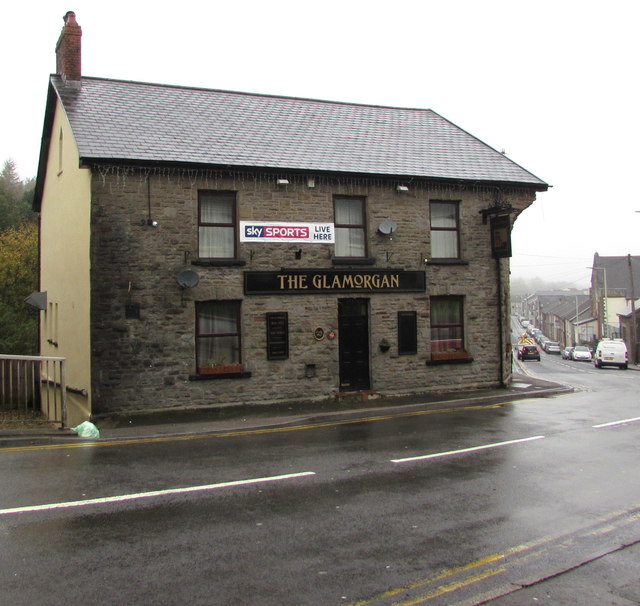
Image: © Jaggery Taken: 26 Oct 2017
The Glamorgan bar & grill is alongside a bend in the B4278. http://www.geograph.org.uk/photo/5581296 to the north side of The Glamorgan.
Images are licensed for reuse under creativecommons.org/licenses/by-sa/2.0
Image Location
Latitude
51.607604
Longitude
-3.442994