Gate 3BF1 (?), former RAF Manston
Introduction
The photograph on this page of Gate 3BF1 (?), former RAF Manston by Robin Webster as part of the Geograph project.
The Geograph project started in 2005 with the aim of publishing, organising and preserving representative images for every square kilometre of Great Britain, Ireland and the Isle of Man.

There are currently over 7.5m images from over 14,400 individuals and you can help contribute to the project by visiting https://www.geograph.org.uk
Gate 3BF1 (?), former RAF Manston
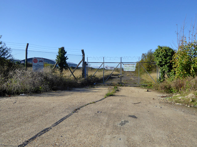
Image: © Robin Webster Taken: 27 Oct 2017
Signs say 'Highly Flammable', 'No petrol driven vehicles...' the last adding further things, radios and other items lost in the weeds which doubtless can cause sparks. So something to do with fuel here?
Images are licensed for reuse under creativecommons.org/licenses/by-sa/2.0
Image Location
Latitude
51.34757
Longitude
1.330726