Rushy field, Hawkes
Introduction
The photograph on this page of Rushy field, Hawkes by Derek Harper as part of the Geograph project.
The Geograph project started in 2005 with the aim of publishing, organising and preserving representative images for every square kilometre of Great Britain, Ireland and the Isle of Man.

There are currently over 7.5m images from over 14,400 individuals and you can help contribute to the project by visiting https://www.geograph.org.uk
Rushy field, Hawkes
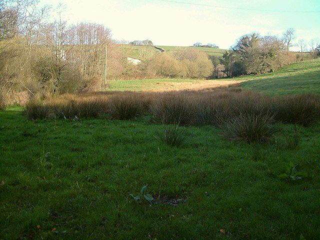
Image: © Derek Harper Taken: 12 Apr 2006
From the lane from Ashburton to Woodland as it crosses a small valley. Farm building at Tor can be seen through the trees.
Images are licensed for reuse under creativecommons.org/licenses/by-sa/2.0
Image Location
Latitude
50.511722
Longitude
-3.728775