Church Street, Treherbert
Introduction
The photograph on this page of Church Street, Treherbert by Jaggery as part of the Geograph project.
The Geograph project started in 2005 with the aim of publishing, organising and preserving representative images for every square kilometre of Great Britain, Ireland and the Isle of Man.

There are currently over 7.5m images from over 14,400 individuals and you can help contribute to the project by visiting https://www.geograph.org.uk
Church Street, Treherbert
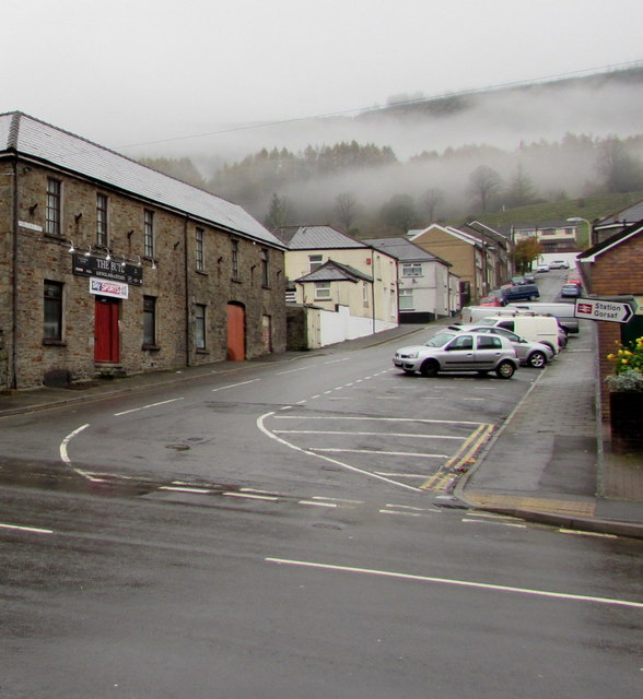
Image: © Jaggery Taken: 26 Oct 2017
Church Street ascends from the A4061 Bute Street. The Bute http://www.geograph.org.uk/photo/5580648 is on the left.
Images are licensed for reuse under creativecommons.org/licenses/by-sa/2.0
Image Location
Latitude
51.675247
Longitude
-3.533367