Kirkdale Buildings at the head of Kirk Dale
Introduction
The photograph on this page of Kirkdale Buildings at the head of Kirk Dale by Martin Dawes as part of the Geograph project.
The Geograph project started in 2005 with the aim of publishing, organising and preserving representative images for every square kilometre of Great Britain, Ireland and the Isle of Man.

There are currently over 7.5m images from over 14,400 individuals and you can help contribute to the project by visiting https://www.geograph.org.uk
Kirkdale Buildings at the head of Kirk Dale
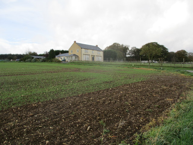
Image: © Martin Dawes Taken: 25 Oct 2017
From the farm access road which goes into Hagg Side Lane down to the A170
Images are licensed for reuse under creativecommons.org/licenses/by-sa/2.0
Image Location
Latitude
54.254111
Longitude
-0.634955