Houses at Thornielee
Introduction
The photograph on this page of Houses at Thornielee by Jim Barton as part of the Geograph project.
The Geograph project started in 2005 with the aim of publishing, organising and preserving representative images for every square kilometre of Great Britain, Ireland and the Isle of Man.

There are currently over 7.5m images from over 14,400 individuals and you can help contribute to the project by visiting https://www.geograph.org.uk
Houses at Thornielee
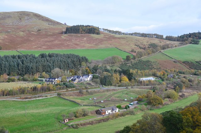
Image: © Jim Barton Taken: 26 Oct 2017
A small modern development near Thornielee Farm. The A72 to Galashiels crosses just below the houses and the hill above is Cauld Face. See also Mike Richardson's photo Image
Images are licensed for reuse under creativecommons.org/licenses/by-sa/2.0
Image Location
Latitude
55.617173
Longitude
-2.934659