Swan Street
Introduction
The photograph on this page of Swan Street by Gerald England as part of the Geograph project.
The Geograph project started in 2005 with the aim of publishing, organising and preserving representative images for every square kilometre of Great Britain, Ireland and the Isle of Man.

There are currently over 7.5m images from over 14,400 individuals and you can help contribute to the project by visiting https://www.geograph.org.uk
Swan Street
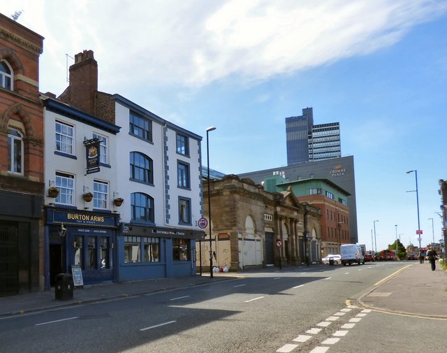
Image: © Gerald England Taken: 23 May 2017
Swan Street is part of the westbound A665 https://www.sabre-roads.org.uk/wiki/index.php?title=A665 On the left are the Burton Arms and the Smithfield Market Tavern Image and further on the Crowne Plaza hotel.
Images are licensed for reuse under creativecommons.org/licenses/by-sa/2.0
Image Location
Latitude
53.485326
Longitude
-2.234449