Fenay lane, Almondbury
Introduction
The photograph on this page of Fenay lane, Almondbury by Humphrey Bolton as part of the Geograph project.
The Geograph project started in 2005 with the aim of publishing, organising and preserving representative images for every square kilometre of Great Britain, Ireland and the Isle of Man.

There are currently over 7.5m images from over 14,400 individuals and you can help contribute to the project by visiting https://www.geograph.org.uk
Fenay lane, Almondbury
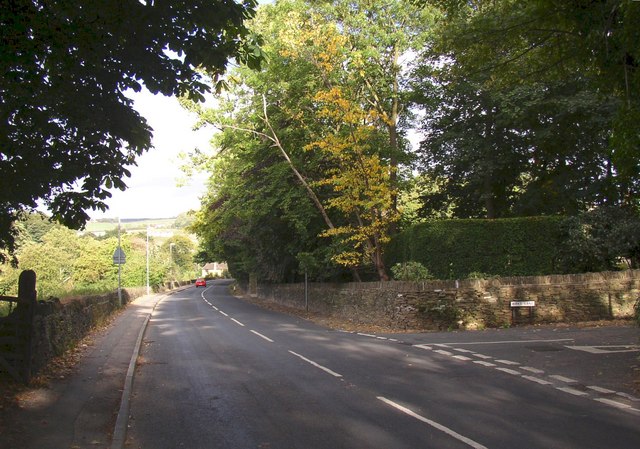
Image: © Humphrey Bolton Taken: 14 Sep 2007
This road drops straight down from the village to Fenay Bridge, where it joins the A629. Birks Lane is on the right.
Images are licensed for reuse under creativecommons.org/licenses/by-sa/2.0
Image Location
Latitude
53.633042
Longitude
-1.739855