Cut Mark: Langford House Lodge
Introduction
The photograph on this page of Cut Mark: Langford House Lodge by Brian Westlake as part of the Geograph project.
The Geograph project started in 2005 with the aim of publishing, organising and preserving representative images for every square kilometre of Great Britain, Ireland and the Isle of Man.

There are currently over 7.5m images from over 14,400 individuals and you can help contribute to the project by visiting https://www.geograph.org.uk
Cut Mark: Langford House Lodge
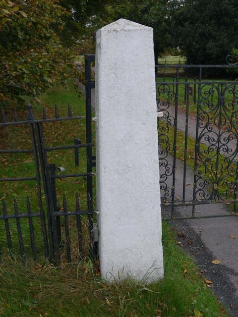
Image: © Brian Westlake Taken: 20 Oct 2017
The left-hand gatepost carries the remains of a cut bench mark dating from the 1850s, now filled and overpainted making it difficult to spot. See http://www.bench-marks.org.uk/bm22340 for details of the mark and http://www.geograph.org.uk/photo/5579224 and http://www.geograph.org.uk/photo/5579234 for other views of the gatepost.
Images are licensed for reuse under creativecommons.org/licenses/by-sa/2.0
Image Location


Leaflet Map data © OpenStreetMap
Latitude
53.104283
Longitude
-0.769771