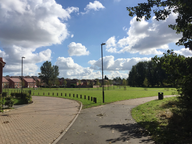
New houses and open space, Wood End, north Coventry
Introduction
The photograph on this page of New houses and open space, Wood End, north Coventry by Robin Stott as part of the Geograph project.
The Geograph project started in 2005 with the aim of publishing, organising and preserving representative images for every square kilometre of Great Britain, Ireland and the Isle of Man.
There are currently over 7.5m images from over 14,400 individuals and you can help contribute to the project by visiting https://www.geograph.org.uk

Image: © Robin Stott Taken: 2 Oct 2016
This replaces council housing built on farmland in the late 1950s, judging by old maps. There were terraces of houses and some small blocks of flats or maisonettes. Geograph has a few photographs of the original estate: Image and Image from 2010; and Image from 2012. The road on the left is Melody Close. The River Sowe is off to the right: is some of this new development in the floodplain?

