Bench mark on Warren Bank Farm outbuilding
Introduction
The photograph on this page of Bench mark on Warren Bank Farm outbuilding by John S Turner as part of the Geograph project.
The Geograph project started in 2005 with the aim of publishing, organising and preserving representative images for every square kilometre of Great Britain, Ireland and the Isle of Man.

There are currently over 7.5m images from over 14,400 individuals and you can help contribute to the project by visiting https://www.geograph.org.uk
Bench mark on Warren Bank Farm outbuilding
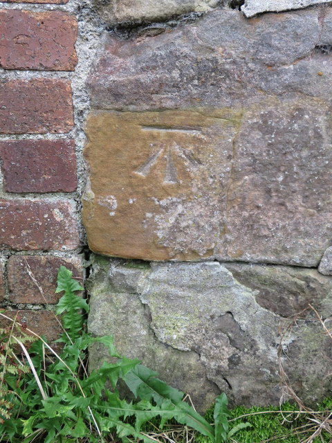
Image: © John S Turner Taken: 9 Oct 2017
This Ordnance Survey bench mark is on the remains of an old stone outbuilding at Warren Bank Farm. The old stone wall has been included in a later brick building. See also Image
Images are licensed for reuse under creativecommons.org/licenses/by-sa/2.0
Image Location
Latitude
53.163693
Longitude
-3.011069