Monmouthshire & Brecon Canal east of Thistle Way
Introduction
The photograph on this page of Monmouthshire & Brecon Canal east of Thistle Way by M J Roscoe as part of the Geograph project.
The Geograph project started in 2005 with the aim of publishing, organising and preserving representative images for every square kilometre of Great Britain, Ireland and the Isle of Man.

There are currently over 7.5m images from over 14,400 individuals and you can help contribute to the project by visiting https://www.geograph.org.uk
Monmouthshire & Brecon Canal east of Thistle Way
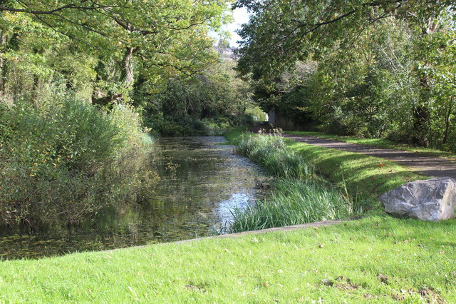
Image: © M J Roscoe Taken: 20 Oct 2017
Disused section of the canal's Crumlin Arm and towpath part of National Cycle Route 47. The canal goes into a culvert under the road at bottom left.
Images are licensed for reuse under creativecommons.org/licenses/by-sa/2.0
Image Location
Latitude
51.607914
Longitude
-3.089197