Employment development site, Swale Way (B2005)
Introduction
The photograph on this page of Employment development site, Swale Way (B2005) by John Baker as part of the Geograph project.
The Geograph project started in 2005 with the aim of publishing, organising and preserving representative images for every square kilometre of Great Britain, Ireland and the Isle of Man.

There are currently over 7.5m images from over 14,400 individuals and you can help contribute to the project by visiting https://www.geograph.org.uk
Employment development site, Swale Way (B2005)
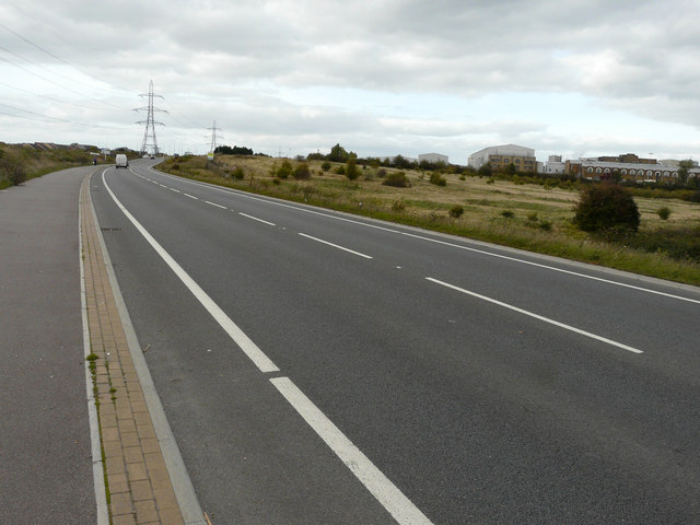
Image: © John Baker Taken: 3 Oct 2017
Details about the site may be found on a Harrison chartered surveyors board, positioned to the right of the road and distantly seen in this image. It reads: under offer, employment development site, approx 3.54 ha (8.75 acres), planning for up to 8000 sq m, B1 and B2 users https://harrisons.property/property-details?id=144+1590&title=site-at-swale-way-(fulcrum-business-park)-kemsley-sittingbourne-kent Planning permission has been granted by Swale Borough Council under application number 14/500327/OUT for an “outline (access not reserved) - up to 8000m2 of Class B1 and B2 floor space and all necessary supporting infrastructure including roads, parking, open space, amenity landscaping, biodiversity enhancement and buffer to proposed extension to Milton Creek Country Park. Detailed approval for Phase 1 including (i) vehicular and pedestrian access to Swale Way; (ii) 30 space (approximately) informal car park to serve extension to Milton Creek Country Park; Change of use of approximately 13.31 ha of Kemsley Marshes as an extension to Milton Creek Country Park with footpath connections to the proposed informal car park”.
Images are licensed for reuse under creativecommons.org/licenses/by-sa/2.0
Image Location
Latitude
51.360299
Longitude
0.750659