Former Victory Inn, 13, Railway Road
Introduction
The photograph on this page of Former Victory Inn, 13, Railway Road by John Baker as part of the Geograph project.
The Geograph project started in 2005 with the aim of publishing, organising and preserving representative images for every square kilometre of Great Britain, Ireland and the Isle of Man.

There are currently over 7.5m images from over 14,400 individuals and you can help contribute to the project by visiting https://www.geograph.org.uk
Former Victory Inn, 13, Railway Road
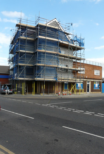
Image: © John Baker Taken: 3 Oct 2017
Planning permission was granted by Swale Borough Council under application number 17/500955/FULL for the “change of use of upper floors of former public house into 6 self-contained units. Raising of the roof height including insertion of 6 dormer windows and alterations to fenestration. Ground floor to retain A4 (drinking establishment) use (other than where access to upper floors is required). (Revised scheme to planning application 16/506715/FULL)”.
Images are licensed for reuse under creativecommons.org/licenses/by-sa/2.0
Image Location
Latitude
51.440254
Longitude
0.758341