A dangerous bend
Introduction
The photograph on this page of A dangerous bend by Peter Mackenzie as part of the Geograph project.
The Geograph project started in 2005 with the aim of publishing, organising and preserving representative images for every square kilometre of Great Britain, Ireland and the Isle of Man.

There are currently over 7.5m images from over 14,400 individuals and you can help contribute to the project by visiting https://www.geograph.org.uk
A dangerous bend
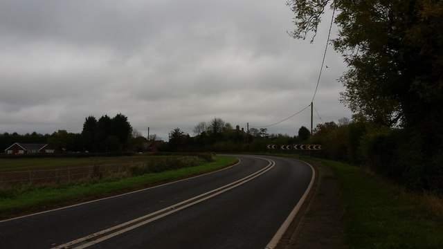
Image: © Peter Mackenzie Taken: 23 Oct 2017
The road takes a sharp swing to the left here.
Images are licensed for reuse under creativecommons.org/licenses/by-sa/2.0
Image Location
Latitude
52.519557
Longitude
-1.606469