Eastern end of Station Street, Penygraig
Introduction
The photograph on this page of Eastern end of Station Street, Penygraig by Jaggery as part of the Geograph project.
The Geograph project started in 2005 with the aim of publishing, organising and preserving representative images for every square kilometre of Great Britain, Ireland and the Isle of Man.

There are currently over 7.5m images from over 14,400 individuals and you can help contribute to the project by visiting https://www.geograph.org.uk
Eastern end of Station Street, Penygraig
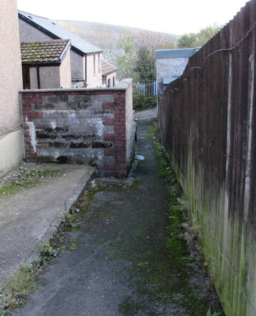
Image: © Jaggery Taken: 17 Oct 2017
Viewed from Tylacelyn Road opposite the main part of Station Street. http://www.geograph.org.uk/photo/5577139 Shown on maps as the eastern end of Station Street, this is a narrow lane which gets narrower ahead.
Images are licensed for reuse under creativecommons.org/licenses/by-sa/2.0
Image Location
Latitude
51.615997
Longitude
-3.447883