Farm road heading north from public road end
Introduction
The photograph on this page of Farm road heading north from public road end by Trevor Littlewood as part of the Geograph project.
The Geograph project started in 2005 with the aim of publishing, organising and preserving representative images for every square kilometre of Great Britain, Ireland and the Isle of Man.

There are currently over 7.5m images from over 14,400 individuals and you can help contribute to the project by visiting https://www.geograph.org.uk
Farm road heading north from public road end
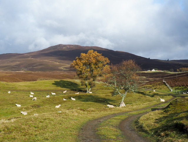
Image: © Trevor Littlewood Taken: 22 Oct 2017
A narrow minor road heads north from the A938 west of Dulnain Bridge ending close to the farm at Achnahannet; this farm road goes on north towards the hill, Càm Scriob.
Images are licensed for reuse under creativecommons.org/licenses/by-sa/2.0
Image Location
Latitude
57.330494
Longitude
-3.699636