Wolston Lane
Introduction
The photograph on this page of Wolston Lane by Peter Mackenzie as part of the Geograph project.
The Geograph project started in 2005 with the aim of publishing, organising and preserving representative images for every square kilometre of Great Britain, Ireland and the Isle of Man.

There are currently over 7.5m images from over 14,400 individuals and you can help contribute to the project by visiting https://www.geograph.org.uk
Wolston Lane
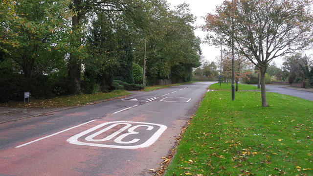
Image: © Peter Mackenzie Taken: 21 Oct 2017
The view of Wolston Lane just inside the 30 mile per hour limit.
Images are licensed for reuse under creativecommons.org/licenses/by-sa/2.0
Image Location
Latitude
52.372081
Longitude
-1.403906