Standby generators, Brielle Way
Introduction
The photograph on this page of Standby generators, Brielle Way by John Baker as part of the Geograph project.
The Geograph project started in 2005 with the aim of publishing, organising and preserving representative images for every square kilometre of Great Britain, Ireland and the Isle of Man.

There are currently over 7.5m images from over 14,400 individuals and you can help contribute to the project by visiting https://www.geograph.org.uk
Standby generators, Brielle Way
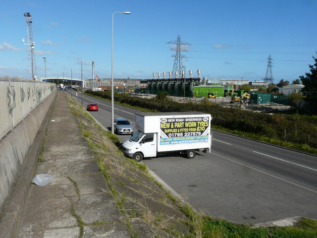
Image: © John Baker Taken: 3 Oct 2017
Planning permission was granted by Swale Borough Council under application number 16/506143/FULL for “10 x 2MW standby generators with ancillary structures including a DNO metering station, transformer compound, switch room, store room and oil storage tanks. The location was described as land at Thamesteel, Brielle Way. It appears that the work is still ongoing on the site. This image shows the location when it was a Image
Images are licensed for reuse under creativecommons.org/licenses/by-sa/2.0
Image Location
Latitude
51.435983
Longitude
0.74873