Site of former free-range poultry units
Introduction
The photograph on this page of Site of former free-range poultry units by Jonathan Thacker as part of the Geograph project.
The Geograph project started in 2005 with the aim of publishing, organising and preserving representative images for every square kilometre of Great Britain, Ireland and the Isle of Man.

There are currently over 7.5m images from over 14,400 individuals and you can help contribute to the project by visiting https://www.geograph.org.uk
Site of former free-range poultry units
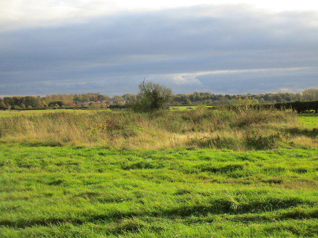
Image: © Jonathan Thacker Taken: 20 Oct 2017
Boiling Wells had a large number of free range poultry units Image but those that were sited here have been removed.
Images are licensed for reuse under creativecommons.org/licenses/by-sa/2.0
Image Location
Latitude
52.99501
Longitude
-0.450296