Limekiln, Marlbrook
Introduction
The photograph on this page of Limekiln, Marlbrook by Richard Webb as part of the Geograph project.
The Geograph project started in 2005 with the aim of publishing, organising and preserving representative images for every square kilometre of Great Britain, Ireland and the Isle of Man.

There are currently over 7.5m images from over 14,400 individuals and you can help contribute to the project by visiting https://www.geograph.org.uk
Limekiln, Marlbrook
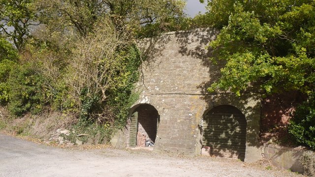
Image: © Richard Webb Taken: 10 Oct 2017
Most of the rock here is old red sandstone which often produces acid soil. Every now and then, limestone outcrops and it was roasted for lime which would raise soil pH and crop yields. Here there is a band of Devonian Bishop's Frome limestone which outcrops around Brierley Woods.
Images are licensed for reuse under creativecommons.org/licenses/by-sa/2.0
Image Location
Latitude
52.187233
Longitude
-2.725176