Path to Harberton
Introduction
The photograph on this page of Path to Harberton by Derek Harper as part of the Geograph project.
The Geograph project started in 2005 with the aim of publishing, organising and preserving representative images for every square kilometre of Great Britain, Ireland and the Isle of Man.

There are currently over 7.5m images from over 14,400 individuals and you can help contribute to the project by visiting https://www.geograph.org.uk
Path to Harberton
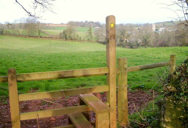
Image: © Derek Harper Taken: 11 Apr 2006
Harberton footpath 16 crossing the stile visible in Image] and heading across a field to the village, with the tower of St Andrew's Church.
Images are licensed for reuse under creativecommons.org/licenses/by-sa/2.0
Image Location


Leaflet Map data © OpenStreetMap
Latitude
50.413359
Longitude
-3.714635