Footbridge at Bridgnorth
Introduction
The photograph on this page of Footbridge at Bridgnorth by Mary and Angus Hogg as part of the Geograph project.
The Geograph project started in 2005 with the aim of publishing, organising and preserving representative images for every square kilometre of Great Britain, Ireland and the Isle of Man.

There are currently over 7.5m images from over 14,400 individuals and you can help contribute to the project by visiting https://www.geograph.org.uk
Footbridge at Bridgnorth
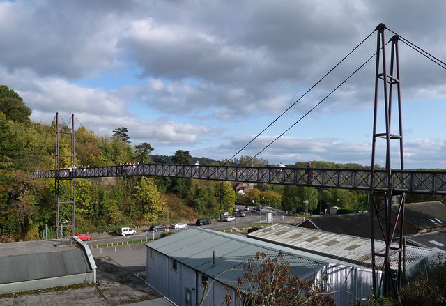
Image: © Mary and Angus Hogg Taken: 14 Oct 2017
This footbridge connects Bridgnorth station with the High Town. It replaced an older bridge, built by the local council over 100 years ago.
Images are licensed for reuse under creativecommons.org/licenses/by-sa/2.0
Image Location
Latitude
52.530792
Longitude
-2.419931