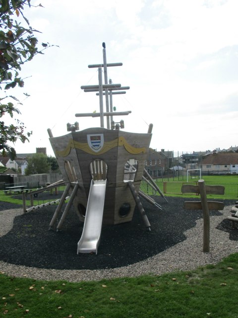
Anning Road Playing Field
Introduction
The photograph on this page of Anning Road Playing Field by John Stephen as part of the Geograph project.
The Geograph project started in 2005 with the aim of publishing, organising and preserving representative images for every square kilometre of Great Britain, Ireland and the Isle of Man.
There are currently over 7.5m images from over 14,400 individuals and you can help contribute to the project by visiting https://www.geograph.org.uk

Image: © John Stephen Taken: 19 Sep 2017
The ship in the park. Anning Road Playing Field is the main play facility for children and young people in Lyme Regis. Maintained by the town council, the facilities include a football pitch, a BMX track, a basketball area and play equipment with swings and a roundabout for younger users. The local under 12s football club use the ground for training purposes and there are custom built changing rooms which were erected through sponsorship by "The Candles on the Cobb" fundraising scheme.

