Tong Moor
Introduction
The photograph on this page of Tong Moor by Stephen Armstrong as part of the Geograph project.
The Geograph project started in 2005 with the aim of publishing, organising and preserving representative images for every square kilometre of Great Britain, Ireland and the Isle of Man.

There are currently over 7.5m images from over 14,400 individuals and you can help contribute to the project by visiting https://www.geograph.org.uk
Tong Moor
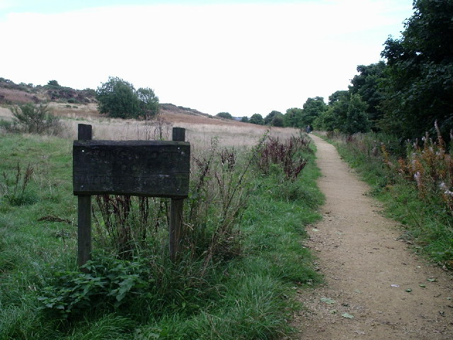
Image: © Stephen Armstrong Taken: 20 Sep 2005
View of the Moor looking East South East. The sign says "TONG MOOR LOCAL NATURE RESERVE". The trees on the right follow the disused railway trackbed from Bradford to Wakefield via Dudley Hill, Birkenshaw & Drighlington
Images are licensed for reuse under creativecommons.org/licenses/by-sa/2.0
Image Location


Leaflet Map data © OpenStreetMap
Latitude
53.760933
Longitude
-1.697201