East Witton
Introduction
The photograph on this page of East Witton by Malcolm Neal as part of the Geograph project.
The Geograph project started in 2005 with the aim of publishing, organising and preserving representative images for every square kilometre of Great Britain, Ireland and the Isle of Man.

There are currently over 7.5m images from over 14,400 individuals and you can help contribute to the project by visiting https://www.geograph.org.uk
East Witton
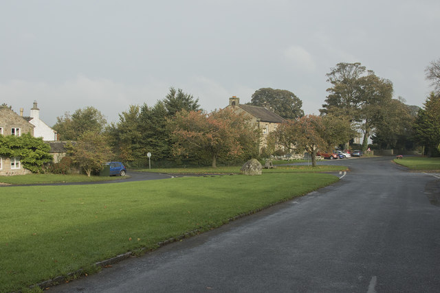
Image: © Malcolm Neal Taken: 16 Oct 2017
The very small village of East Witton has a large oblong village green that has, on both sides, a road and a series of detached and semi-detached houses and cottages. The village green has four wooden squares on it which we were told is a Quoits arena. Sadly the game of quoits, which used to be an inter-village competition, is no longer played.
Images are licensed for reuse under creativecommons.org/licenses/by-sa/2.0
Image Location


Leaflet Map data © OpenStreetMap
Latitude
54.269364
Longitude
-1.779322