Castlemilk Drive
Introduction
The photograph on this page of Castlemilk Drive by Thomas Nugent as part of the Geograph project.
The Geograph project started in 2005 with the aim of publishing, organising and preserving representative images for every square kilometre of Great Britain, Ireland and the Isle of Man.

There are currently over 7.5m images from over 14,400 individuals and you can help contribute to the project by visiting https://www.geograph.org.uk
Castlemilk Drive
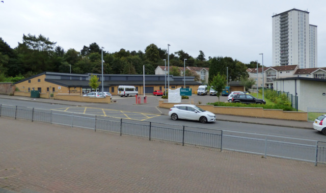
Image: © Thomas Nugent Taken: 16 Sep 2017
Glenwood Day Care Cenrtre is on the left. The towerblock is one of three on Dougrie Place.
Images are licensed for reuse under creativecommons.org/licenses/by-sa/2.0
Image Location
Latitude
55.804985
Longitude
-4.231555