Ballintoy Parish Church
Introduction
The photograph on this page of Ballintoy Parish Church by David Dixon as part of the Geograph project.
The Geograph project started in 2005 with the aim of publishing, organising and preserving representative images for every square kilometre of Great Britain, Ireland and the Isle of Man.

There are currently over 7.5m images from over 14,400 individuals and you can help contribute to the project by visiting https://www.geograph.org.uk
Ballintoy Parish Church
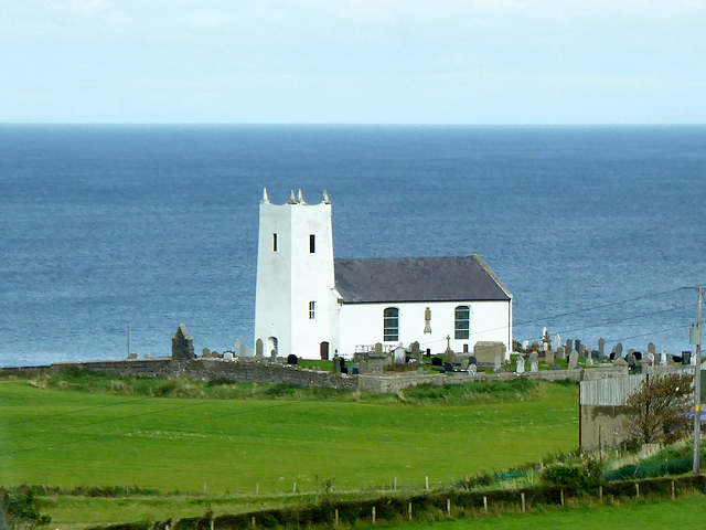
Image: © David Dixon Taken: 28 Sep 2017
The distinctive white Ballintoy Parish Church on the hill above the Harbour was completed in 1813 as a replacement for an older structure, the tower of which was retained.
Images are licensed for reuse under creativecommons.org/licenses/by-sa/2.0
Image Location
Latitude
55.240243
Longitude
-6.366903