Western boundary of Dinas (Rhondda)
Introduction
The photograph on this page of Western boundary of Dinas (Rhondda) by Jaggery as part of the Geograph project.
The Geograph project started in 2005 with the aim of publishing, organising and preserving representative images for every square kilometre of Great Britain, Ireland and the Isle of Man.

There are currently over 7.5m images from over 14,400 individuals and you can help contribute to the project by visiting https://www.geograph.org.uk
Western boundary of Dinas (Rhondda)
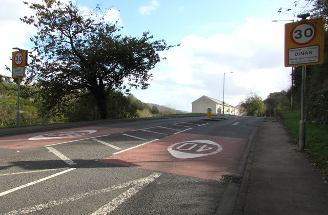
Image: © Jaggery Taken: 17 Oct 2017
The A4058 Dinas Road from Tonypandy reaches the Dinas boundary. The 40mph speed limit drops to 30mph. Dinas means city in modern Welsh, but here it has the older meaning of hill fort.
Images are licensed for reuse under creativecommons.org/licenses/by-sa/2.0
Image Location
Latitude
51.61675
Longitude
-3.437796