Path through Dingle Wood below the lake
Introduction
The photograph on this page of Path through Dingle Wood below the lake by Stephen Craven as part of the Geograph project.
The Geograph project started in 2005 with the aim of publishing, organising and preserving representative images for every square kilometre of Great Britain, Ireland and the Isle of Man.

There are currently over 7.5m images from over 14,400 individuals and you can help contribute to the project by visiting https://www.geograph.org.uk
Path through Dingle Wood below the lake
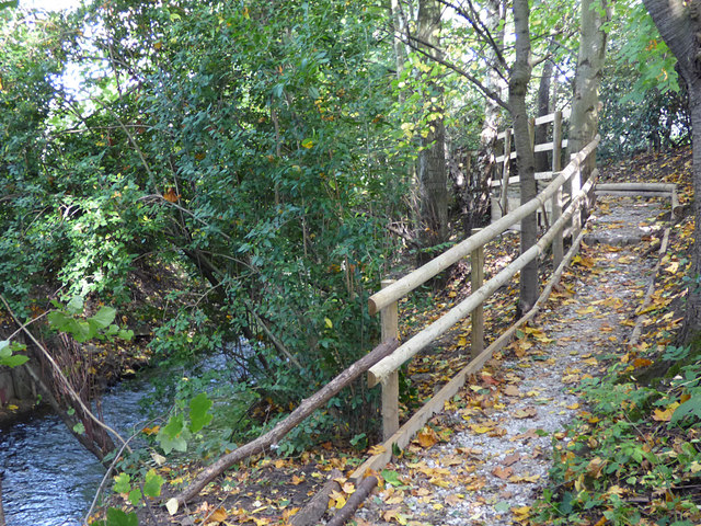
Image: © Stephen Craven Taken: 14 Oct 2017
At this point the bypass comes close to the stream, and there is barely room for the footpath in the remaining gap.
Images are licensed for reuse under creativecommons.org/licenses/by-sa/2.0
Image Location
Latitude
53.143718
Longitude
-2.357716