Risholme Way, Kingston upon Hull
Introduction
The photograph on this page of Risholme Way, Kingston upon Hull by Bernard Sharp as part of the Geograph project.
The Geograph project started in 2005 with the aim of publishing, organising and preserving representative images for every square kilometre of Great Britain, Ireland and the Isle of Man.

There are currently over 7.5m images from over 14,400 individuals and you can help contribute to the project by visiting https://www.geograph.org.uk
Risholme Way, Kingston upon Hull
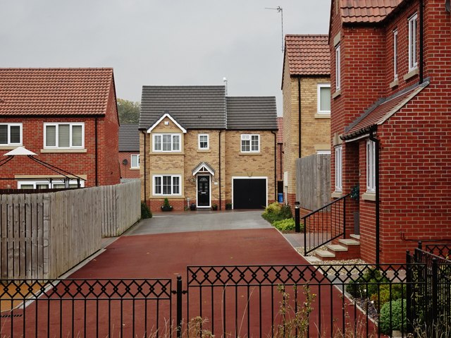
Image: © Bernard Sharp Taken: 16 Oct 2017
Facing the camera, No.12 Risholme Way (named after the adjoining former Risholme Carr), part of Princess Royal Park, a development of 103 dwellings on the site of the former Princess Royal Hospital, Saltshouse Road.
Images are licensed for reuse under creativecommons.org/licenses/by-sa/2.0
Image Location
Latitude
53.777016
Longitude
-0.279434