Llethr Garth / Garth Bank
Introduction
The photograph on this page of Llethr Garth / Garth Bank by Alan Richards as part of the Geograph project.
The Geograph project started in 2005 with the aim of publishing, organising and preserving representative images for every square kilometre of Great Britain, Ireland and the Isle of Man.

There are currently over 7.5m images from over 14,400 individuals and you can help contribute to the project by visiting https://www.geograph.org.uk
Llethr Garth / Garth Bank
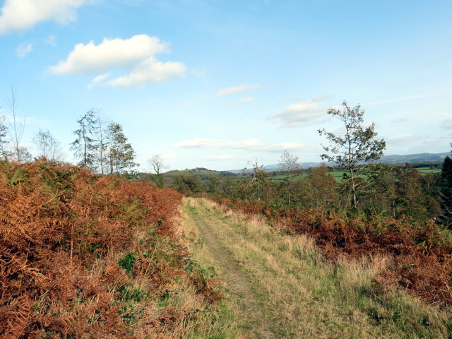
Image: © Alan Richards Taken: 17 Oct 2017
Llwybr ceffyl ar lethrau Llethr Garth. A bridleway on the slopes of Garth (trans. ridge) Bank.
Images are licensed for reuse under creativecommons.org/licenses/by-sa/2.0
Image Location
Latitude
52.146402
Longitude
-3.53372