Brockholes Wood
Introduction
The photograph on this page of Brockholes Wood by Patrick as part of the Geograph project.
The Geograph project started in 2005 with the aim of publishing, organising and preserving representative images for every square kilometre of Great Britain, Ireland and the Isle of Man.

There are currently over 7.5m images from over 14,400 individuals and you can help contribute to the project by visiting https://www.geograph.org.uk
Brockholes Wood
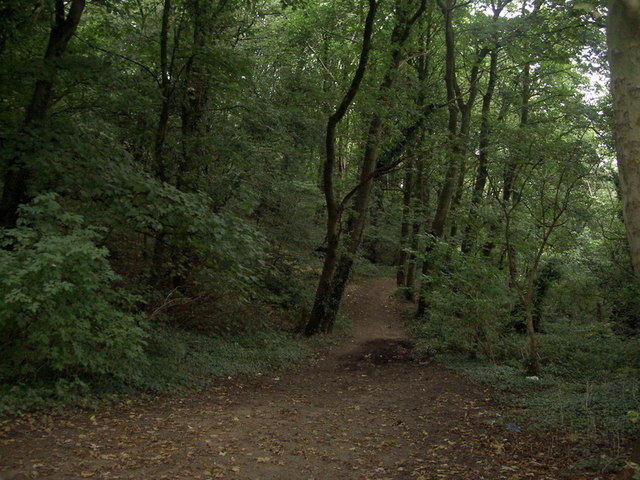
Image: © Patrick Taken: 9 Sep 2007
This evocatively-named wood lies between the Ribble and the Farringdon Park Estate. (Part of a circular walk around Preston – continues at Image)
Images are licensed for reuse under creativecommons.org/licenses/by-sa/2.0
Image Location
Latitude
53.766124
Longitude
-2.64789