Roadside horse trough.
Introduction
The photograph on this page of Roadside horse trough. by Harold Potts as part of the Geograph project.
The Geograph project started in 2005 with the aim of publishing, organising and preserving representative images for every square kilometre of Great Britain, Ireland and the Isle of Man.

There are currently over 7.5m images from over 14,400 individuals and you can help contribute to the project by visiting https://www.geograph.org.uk
Roadside horse trough.
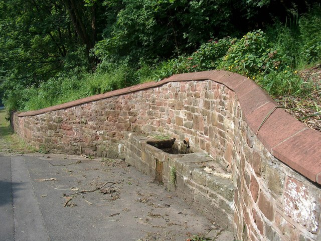
Image: © Harold Potts Taken: 10 Jun 2007
Once a common amenity for the many drayhorses of the town, now a relic of the past. The water supply and drainage are part of the town's extensive well-hidden buried springs and streams.
Images are licensed for reuse under creativecommons.org/licenses/by-sa/2.0
Image Location
Latitude
54.555898
Longitude
-3.580704